Path to YOURSELF
Path to MONGOLIA
Travelers' choice award 2023
Tripadvisor
choose adventure
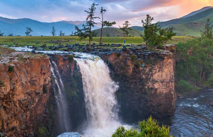
In the middle of nowhere
There is no place like GOBI
Go to one of the most undiscovered place
Find yourself
Explore yourself
as someone new
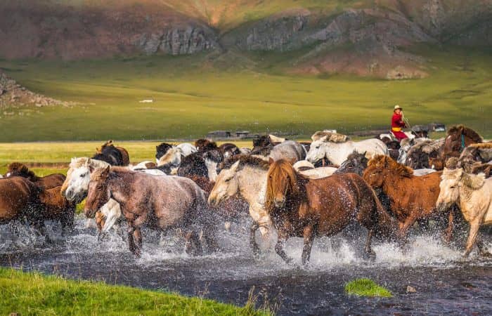
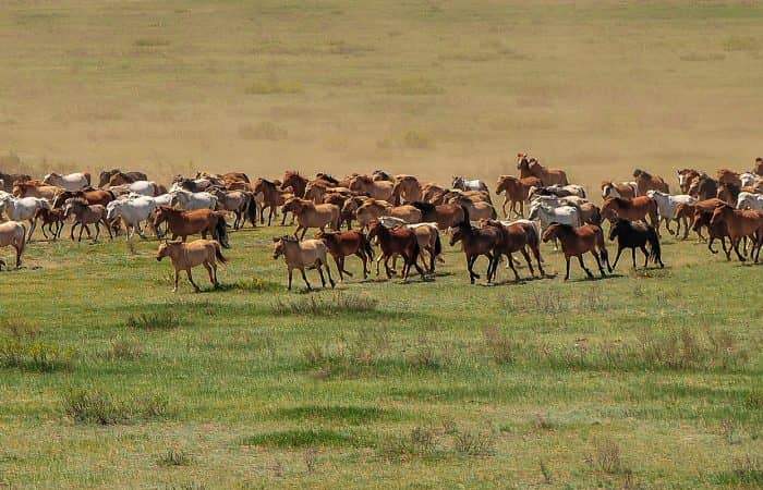
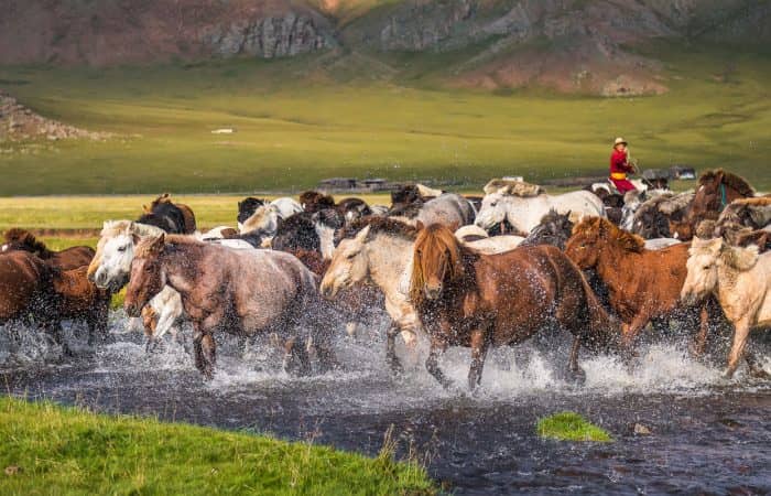
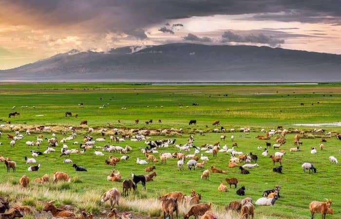
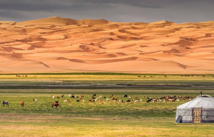
Live as nomads
Double your happiness
with your liked ones
Go with your group
Emptiest country
full of life..
Escape to Mongolia
No place like Mongolia
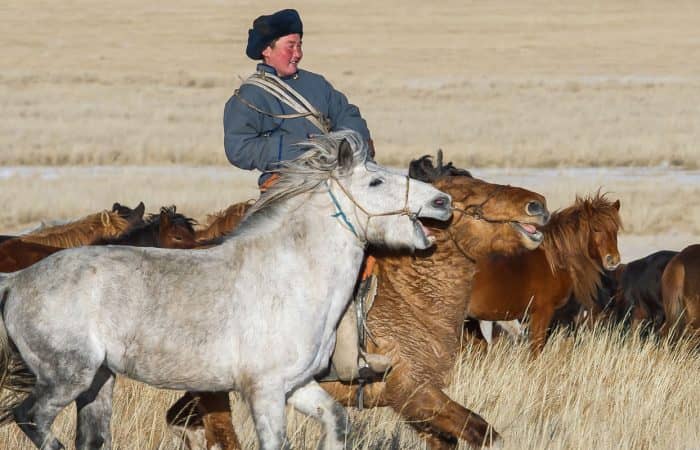
for horseriding
Feel the freedom
Man of the millennium
Home of
Go back in time
Only in Mongolia
special experiences
Get an experience
Happy clients, happy company
We had an amazing, potentially life-changing 10D9N private tour with Sunpath. We picked Sunpath as we had seen this company recommended online and the tour price was reasonable.
2023.08.15
Trip of a lifetime
brooklynsometimestraveler
This is my second time going with Sunpath and was just as good or better than my first time. I can’t say enough good things. In fact, I think I’ll do another trip with them next summer 🙂
2023.08.06
Second time review
MellingerM
It was a blessing to decouple from busy city life and experience the pure way of living of people in Mongolia’s countryside. There is absolutely nothing more we could have asked for during the trip.